PortObserver™

Visualize queuing and incidents in ports

Landside and waterside awareness for terminals and connecting roadways: queues, counts, incidents, partner visibility, and AIS.

Landside congestion starts at the terminal

Drayage queues at busy piers often spill onto surrounding roadways. PortObserver™, built on TrafficVision® TMC, gives operators, tenants, and agencies a shared real-time view of queues, incidents, and maritime context.

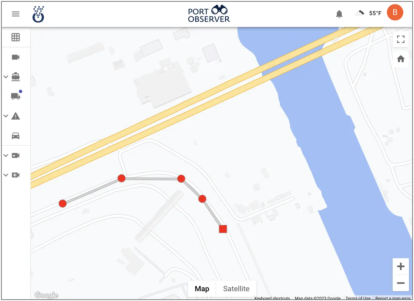
Truck queuing map
Port-wide queue layers
Segment queuing view
Segment drill-down

Real-time truck and drayage queuing

Track queue severity across approaches, gates, and terminal-adjacent segments on one interactive map.

  • Layered visualization: Queue extent on a port-wide map, not only a single camera.
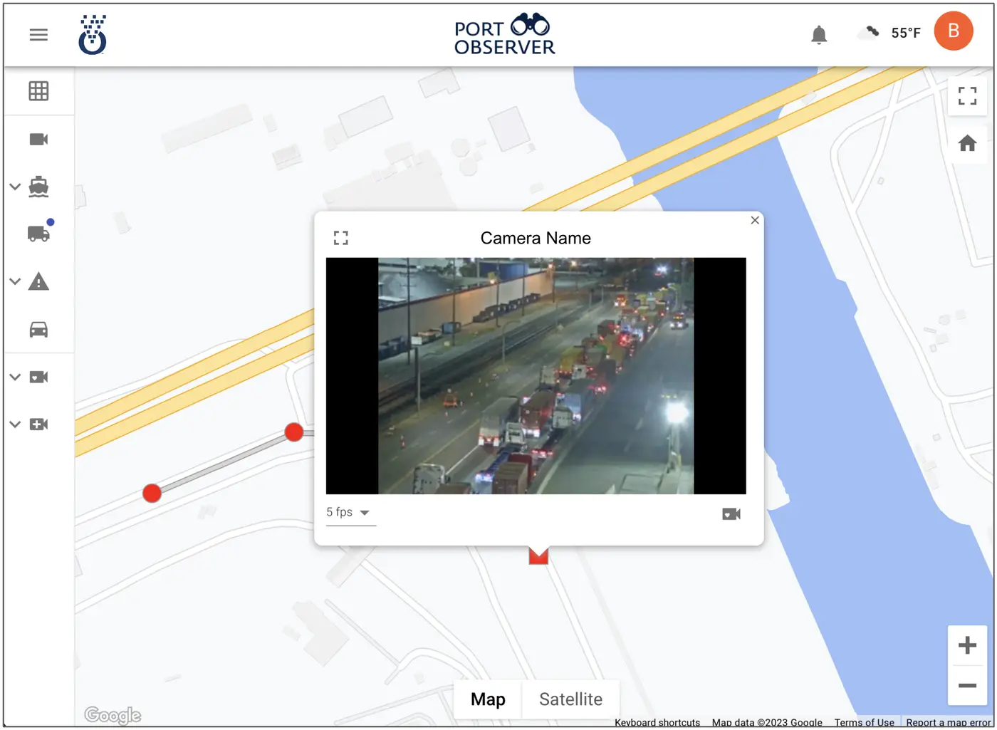
  • Segment drill-down: Select a roadway for a live view of the pier or corridor that needs attention.
  • Faster landside decisions: Spot growth early for gates, staging, and agency coordination.
Truck counts into the port and by pier

Continuous counts show which facilities drive volume and how demand shifts through the day.

  • Port entry counts: Inbound truck demand as it enters the complex.
  • Pier-level volumes: Attribute activity to individual piers for tenant-aware ops.
  • Counts + queues: See where trucks are going and where they are stacking up.
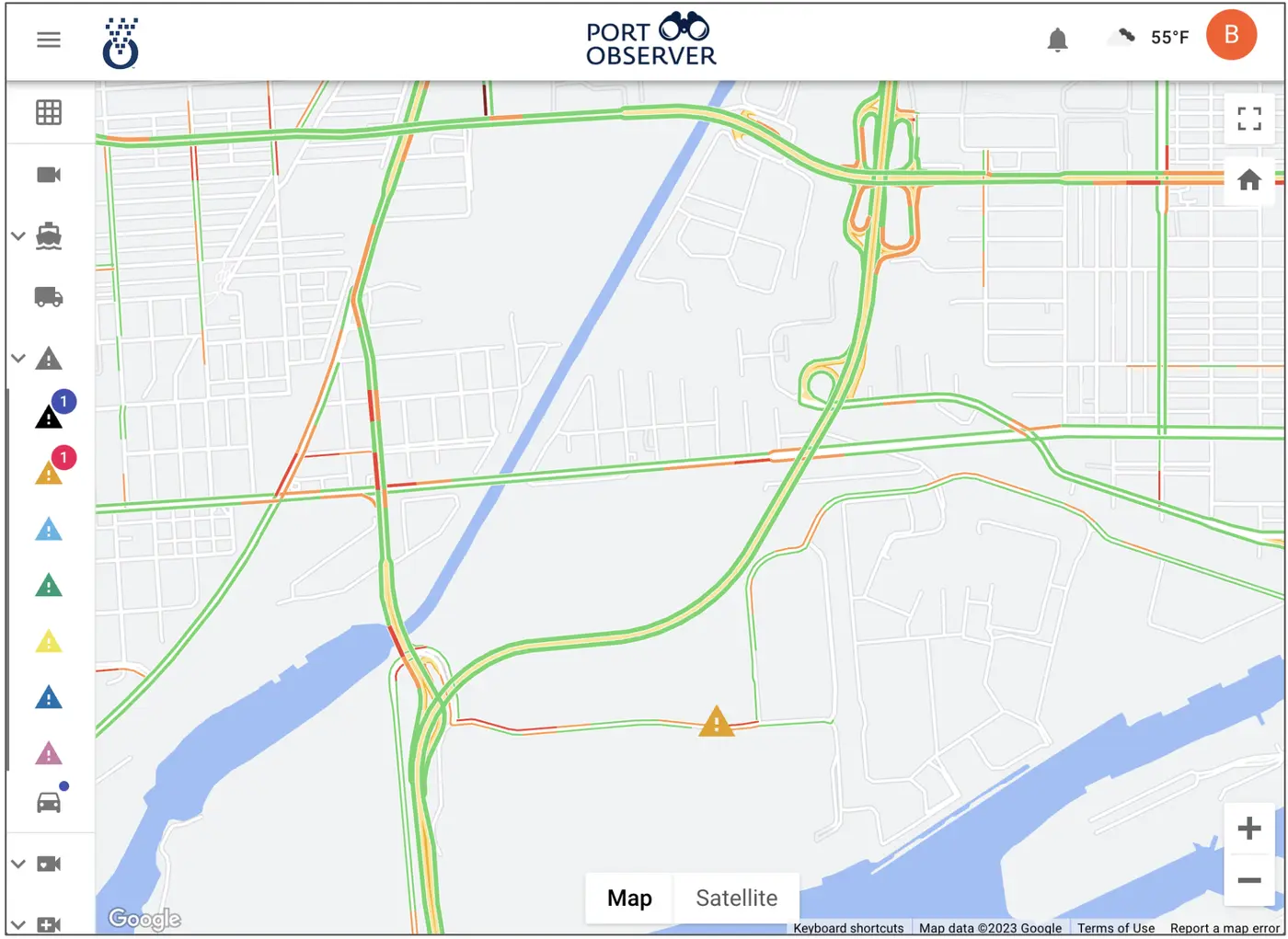
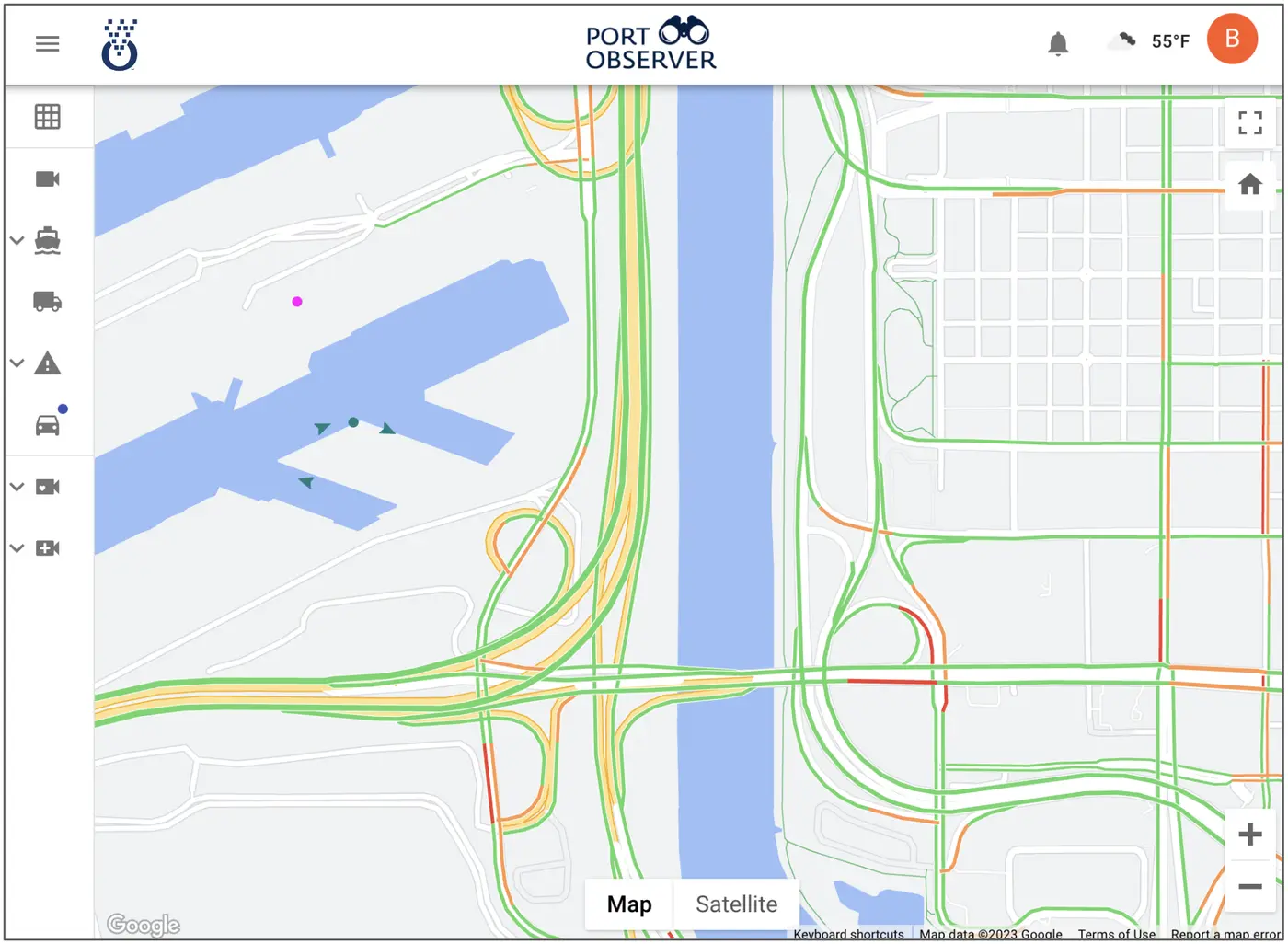
Port traffic view
Roadway traffic context
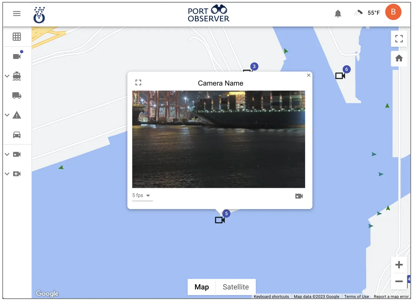
Camera view in PortObserver
Camera confirmation
Traffic alerts map
Live alerts on map
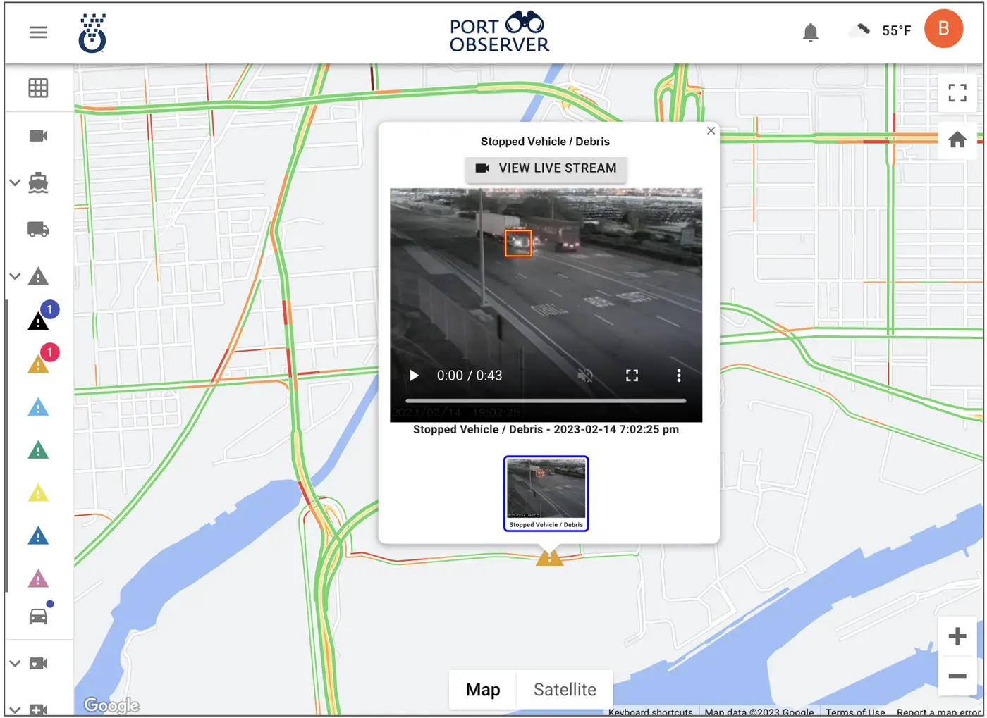
Incident details
Image-backed detail

Traffic alerts and incident detection

Map-based alerts powered by TrafficVision® TMC, with images and optional clips for quick verification.

  • Stopped vehicles outside drayage lanes
  • Pedestrians in restricted or high-risk areas
  • Wrong-way travel on port roadways
  • Historical archive for safety and planning review

Speeds, heat maps, and history

Continuous analytics for live ops and longer-horizon planning from production multi-year data.

  • 24x7 lane speeds in key zones
  • Historical heat maps with time correlation
  • Archived queues and incidents for planning and after-action review
Segment-level queuing and traffic context
Segment views for live ops and historical review
Shared operational view for partners
Shared operational views
Shared map context for partners
Shared map context

Partner queue visibility without the complexity

Give tenants, agencies, and landside partners a clear view of queues and landside status without heavy access overhead.

  • Shared queue context: Partners see the same map-based congestion picture
  • Simple access: Situational awareness without complex network setup
  • Right-sized visibility: Share what each partner needs, not everything

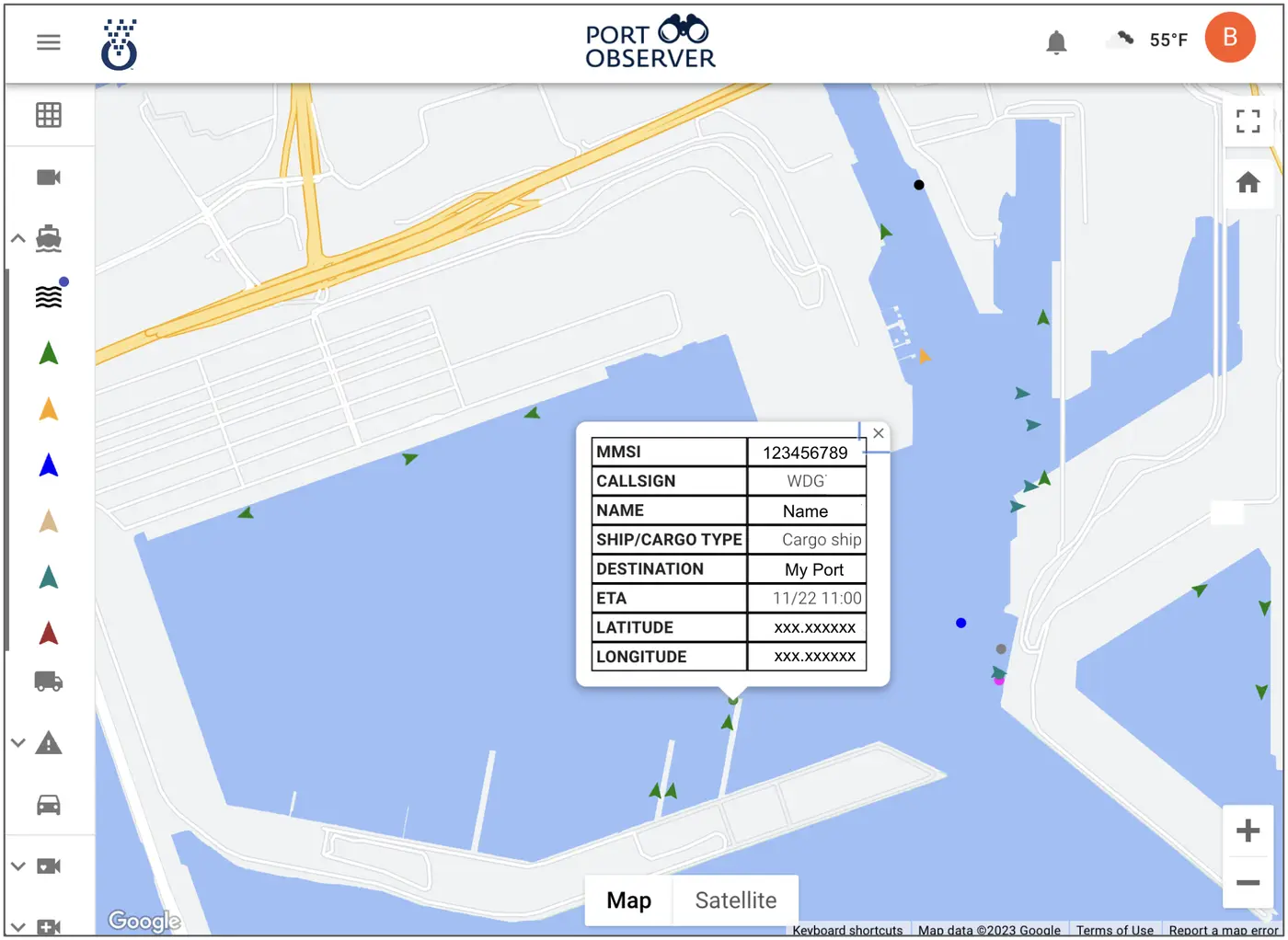
AIS vessel and weather data

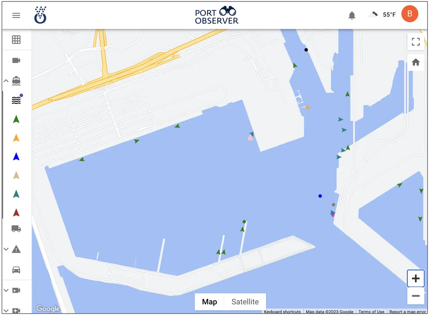
Waterside vessel context alongside landside video analytics in one interface.

  • AIS tracking around the port area
  • Ship traffic next to queues and incidents
  • Daily weather for terminal and roadway context
AIS vessel tracking
AIS and weather
Landside and waterside view
Landside + waterside

Built on TrafficVision® TMC

The same agency-grade detection engine used on major roadway networks, with port-focused maps and workflows for landside operations.

Explore TrafficVision® TMC